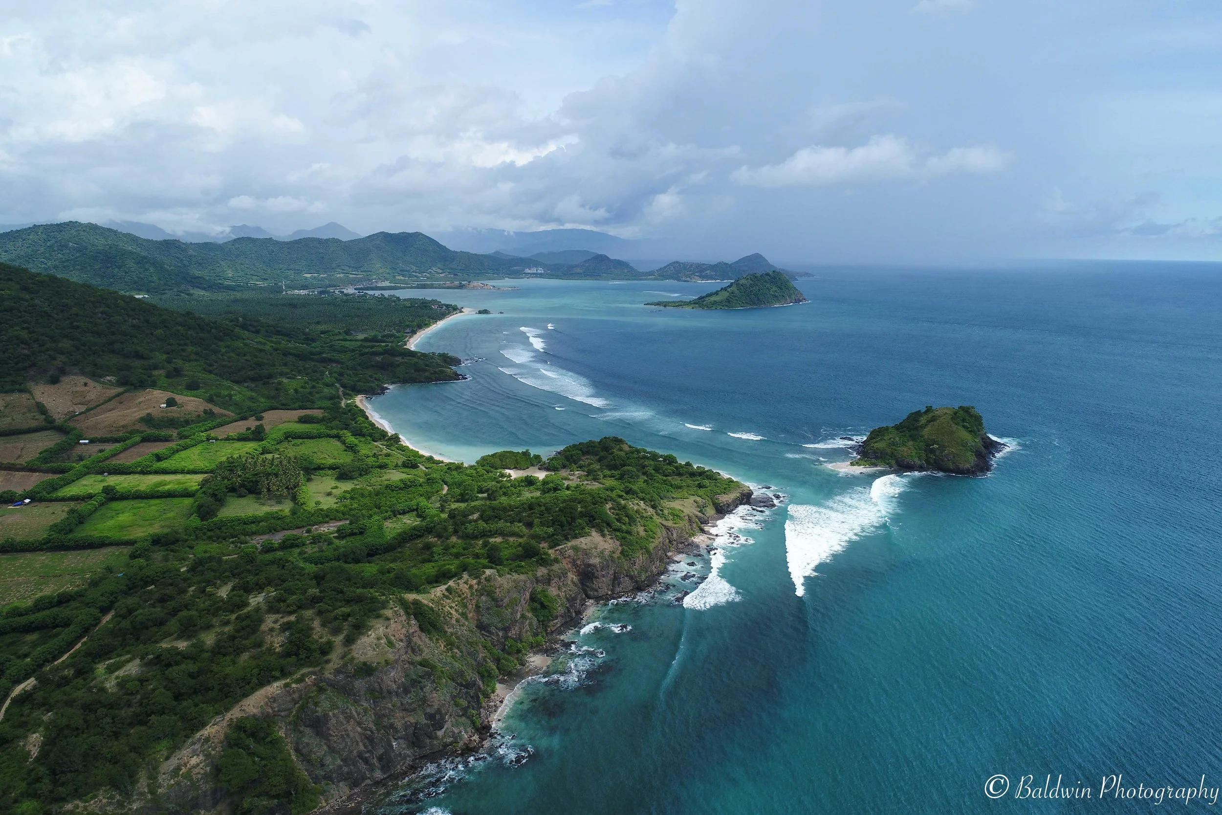
Marine Spatial Information Solutions connects people with the appropriate technologies to collaboratively develop useful information

St. Lucia Forestry Department Training, CARPHA CATS Programme, 2018
Transforming the way We Create & Understand Environmental information
I am passionate about strengthening technical capacity and social partnerships amongst NGOs, public / private sectors, civil society and communities to work together to create a shared understanding
MarSIS provides innovative solutions custom-tailored to your requirements. As an active field researcher, I have a diverse background in collaborative approaches and extensive practical experience in applied environmental management projects.

Drone Start-Up Package Training - Fisheries & Forestry Departments, Grenada.
I offer a unique set of interdisciplinary research, training and consulting services focusing on participatory mapping, monitoring and the collaborative creation and sharing of information. All of my services are tailored to your needs and resources to increase your efficiency and reduce your operational costs as well as save you time & money and ensure success for your projects and team!

Let’s work together to
• Collaboratively develop innovative management solutions
• Equip you with the tools and skills to better handle challenges
Learn how I am using drones to map and monitor sargassum influxes:
Watch the ‘Sargassum Monitoring Protocol Using Drones’ Presentation at the UWI Sargassum Symposium (2023)
READ THE BLOG ‘Drone Mapping in the Caribbean: Estimating the Abundance of Sargassum Seaweed from the Air Learn How One Scientist is Combating the Economic Effects of Climate Change with Drone Intelligence’ - DroneDeploy.org

St. Lucia National Trust - Intro to Drone Flying and Mapping (Oct 2021).