
Participatory approaches not only improve the quality of produced information, it also supports community development and environmental stewardship
There is a wealth of local environmental knowledge within every community
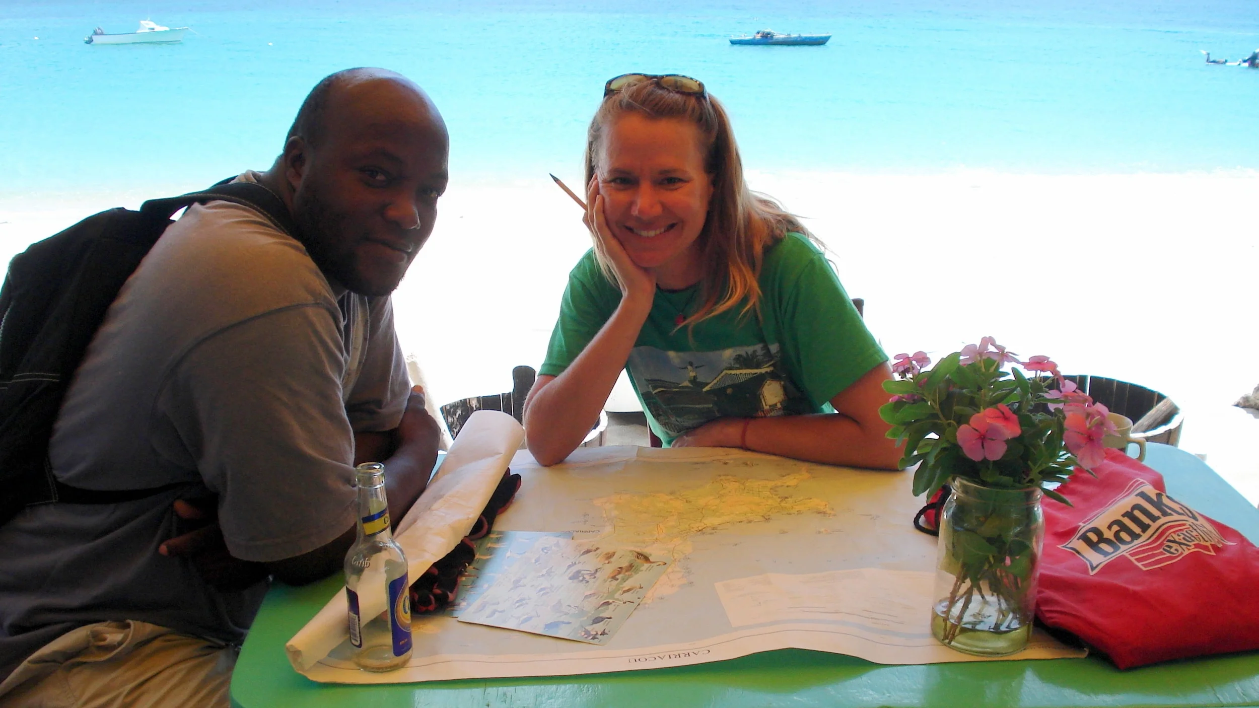
An effective participatory approach which engages all stakeholders can allow for the collection of local knowledge and the development of more holistic information – including social and economic - which may not be accessible otherwise. Participatory approaches not only improve our collective understanding of the environment, but also strengthens partnerships to allow us to better manage our resources, build local resilience and sustain livelihoods.

Learn how to engage people & build partnerships so you can represent local knowledge effectively & gain widespread support for your management efforts
Knowing how to understand your community is essential for effective collaboration. This requires an assessment of your stakeholders, for planning collaboration as well as how to appropriately validate and obtain feedback to produce information that is accurate, understandable, and accessible to all relevant parties. Ultimately this process facilitates capacity-building and improves transparency, trust, and engagement in environmental management.

introduction to Participatory research & collaborative mapping methods
Learn collaborative techniques so you can empower local participation
You’ll learn how environmental monitoring, management and planning initiatives can all benefit from increased community involvement. Key participatory techniques to support the collaborative collection and creation of spatial information will be covered in this course. You will learn how to apply my signature PGIS approach, including methods to effectively map and validate local environmental knowledge as well as how to communicate and widely share information to ensure access and understanding of information.