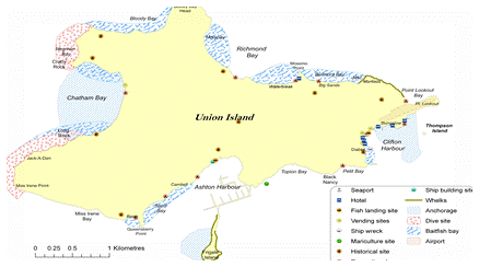
PGIS integrates social, economic & environmental information drawn from both scientific and local knowledge systems to build a shared understanding

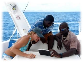
Working together to develop effective local solutions
Stakeholder empowerment through the application of principles that reflect good governance (transparency, accountability, inclusiveness, equity) underlies the Participatory GIS (PGIS) Approach. This framework can help us to collect and represent local knowledge together alongside scientific information. This collaborative ‘process’ also serves to strengthen the capacity of all parties to better understand and effectively participate in environmental management.

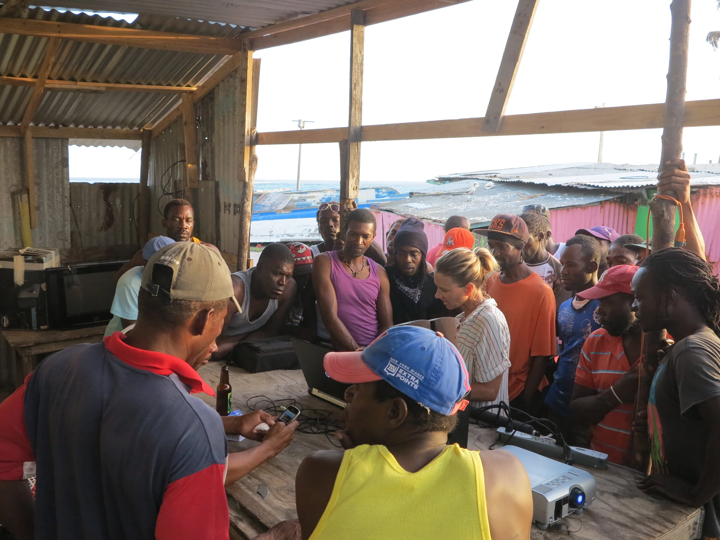
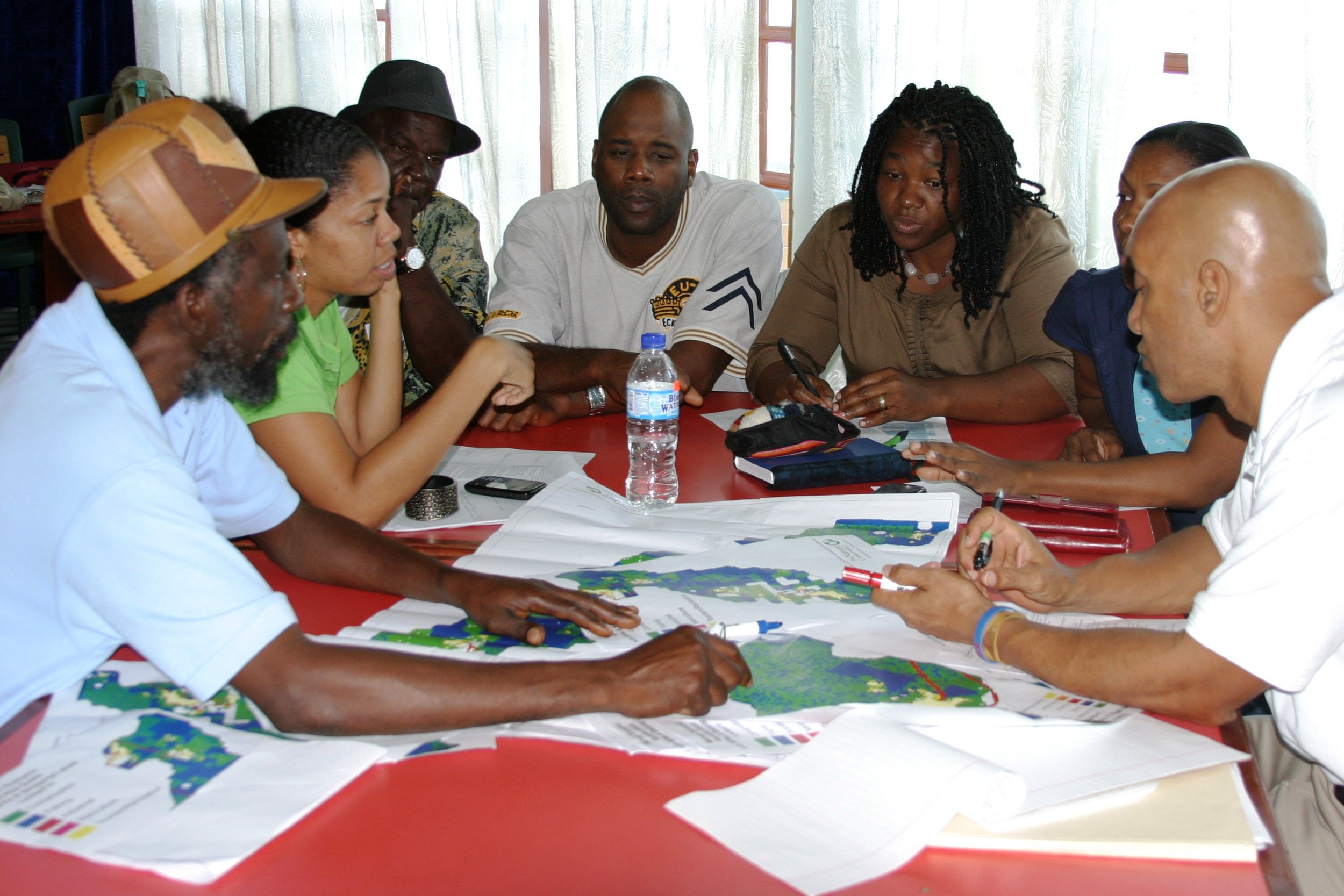
Participatory mapping exercise validation meeting with Pedro Cays fishers, Jamaica
PGIS is a user-centered, demand-driven approach
A collaborative approach allows us to better identify areas that are important for livelihoods and conservation. This is of particular relevance in data-poor, resource-limited situations that are typical of SIDS (Small Island Developing States) such as the Caribbean. Fundamentally PGIS broadens the information base for management and strengthens governance by building partnerships as well as promoting participation in developing a ‘technical representation’ of local knowledge. Ultimately this process allows for a more comprehensive understanding of the social and economic characteristics of a community.

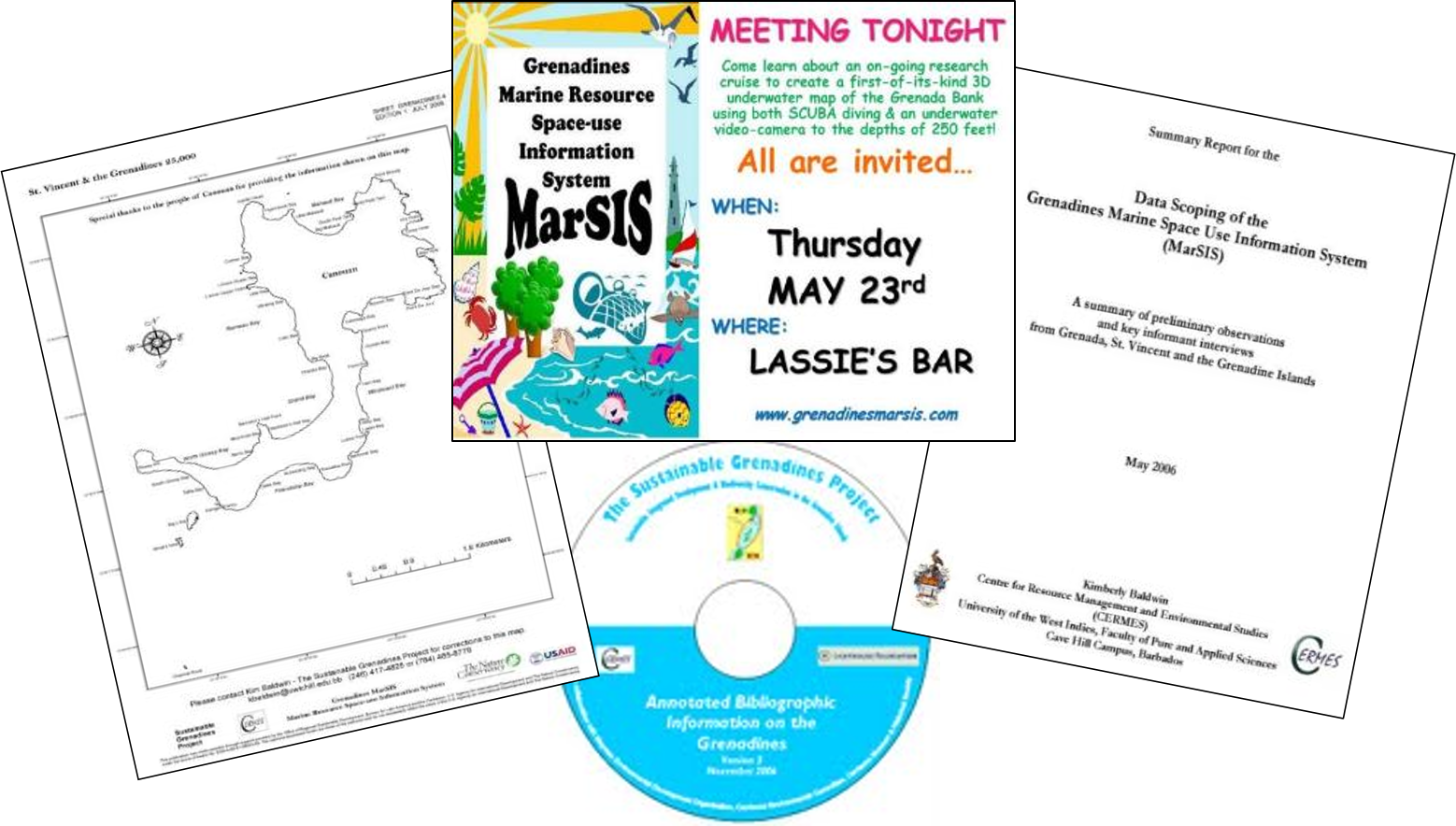
Wide Collaboration = Comprehensive Solutions
Consequently PGIS strives to ensure that holistic information is produced and that it is understandable and accessible for all users. This collaborative and transparent process underlying the PGIS approach, not only builds social and technological capacities, it shows people the role they can and should play in helping to manage our environment and the resources it provides for us.
Dr. Kimberly Baldwin, is a leading PGIS practitioner and remains an active field researcher. Over the past 20 years, her unique approach and methods have been applied and refined for use across a variety of environmental contexts and stakeholders.


“Participation not only demonstrates the relevance of information provided by stakeholders, but also supports an ecosystem-based approach through the use of multi-discipline and multi-knowledge information sources for decision-making, planning and management initiatives”