
Remote sensing geospatial technologies are applied to collect high-quality data and accurately map your environment
Harrows Organics, 3D Farm Model, taken in Haggatt Hall, St. George, Barbados. 2020.
aERIAL SURVEYS COLLECT HIGHLY ACCURATE DATA
Aerial data collection and the production of maps and elevation models are fundamental for surveying, monitoring, managing and ultimately the effective conservation of our resources. Drones now allow us to safely reach inaccessible areas and easily collect accurate data at a fraction of the effort, time and cost!

Drone mapping and monitoring of the Sargassum influx on beaches across Barbados (2018).
Drone technology is now used for
Mapping & Monitoring: habitats, resources, space-uses, threats & issues
Feature Detection: animal enumeration & abundance
Precision Agriculture: cover, counts, health & pests
Elevation Modeling: hydrology, flooding & erosion
Disaster Management: impacts, management & mitigation
Construction: estimates, planning, earthworks, site progress, inspections, close out & marketing
Insurance: risk assessment, claims, liabilities & fraud
Inspections: buildings, rooftops, solar panels & utilities
Search & Rescue Efforts: access to remote & dangerous areas
Surveillance: monitoring, enforcement & evidence
Thermal/IR: solar & HVAC inspections, night tracking

Orthomosaic (2D) Mapping Survey with Farm Map overlain with area (in acres) calculated. BAMC, Wakefield Redevelopment 2020, St. John, Barbados.

Click to see 360 Panorama: Wakefield 2020

Drone Elevation Mapping Survey overlain with BAMC Farm map & total areas. Wakefield Redevelopment Project 2020 St. John, Barbados.
ENSURE QUALITY, REDUCE TIME & MAXIMISE RETURNS
I possess more than 20 years of experience conducting environmental mapping and monitoring surveys in Barbados, across the Caribbean and around the world
As a commercial drone pilot (Federal Aviation Administration Part 107), sUAS Thermographer (Infrared Training Center) and holder of drone licenses across the Eastern Caribbean (Barbados, St. Vincent and the Grenadines, Grenada, St. Lucia, Dominica, Antigua), I strictly follow all UAS policies and apply commercial Standard Operating Procedures to ensure safe, legal and efficient drone operations.

Drone surveys and mapping services in Barbados. CERMES UWI, Barbados Sea Turtle Project (2017).
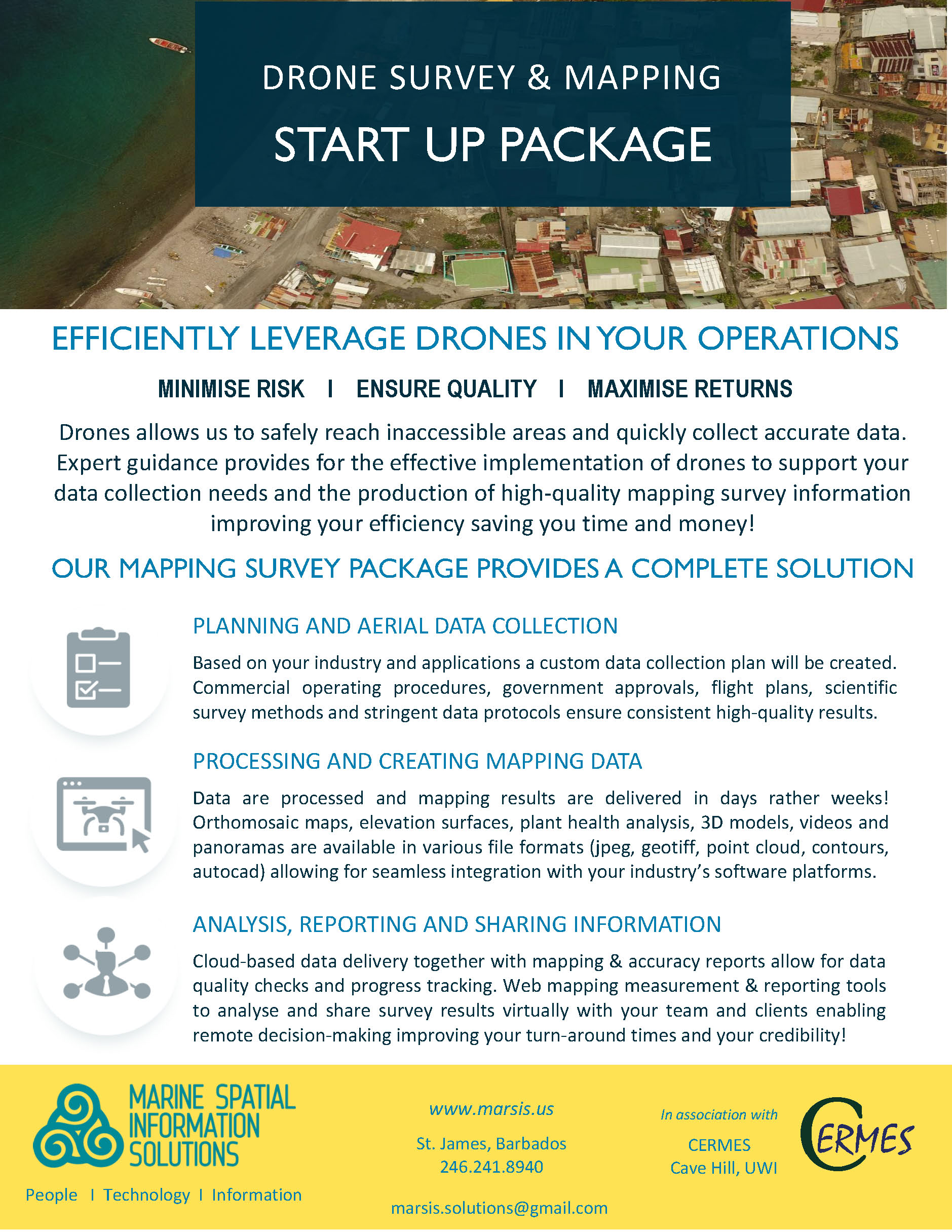
THE MAPPING SURVEY PACKAGE = COMPLETE SOLUTION
Save time with expert guidance on data collection to produce high-quality mapping and survey information

Plant Health Index Mapping Survey, BAMC, Dukes Farm, St. Thomas, Barbados (2020).
PLANNING AERIAL DATA COLLECTION
First a preliminary needs assessment will be undertaken to understand and appropriately plan your drone surveys and data collection strategy. I will work closely with you to determine the most effective manner of obtaining the data you need so results can be seamlessly integrated into your organization’s decisions and existing workflows.
A data collection plan will be developed based on your problems and individual needs. All government approvals, liability insurance, survey methods, standard operating procedures and stringent data management protocols are applied. The result = consistent high-quality data!

Drone Orthomosaic in Carriacou, Grenada, 2018.
DATA PROCESSING & MAPPING
Obtain Orthomaps, Elevation Surfaces, 3D Models, Plant Health Surfaces Results
Web-based processing, mapping and analysis platforms enable you with the tools to monitor and track your site’s progress and the power to develop spatial information for all of your intended applications. Automated accuracy and issue reports allow you to check the quality of your mapping data and effectively work ‘on-site’ with your team remotely.

3D Model Flight Plan for BAMC in Constant, St. George, Barbados.
ANALYSIS & INFORMATION ACCESS
Automated measurement & analysis tools allows you to easily view, analyze, share and discuss survey results with your team to make real-time decisions remotely
Online measurement and analysis tools, allows your team to easily view, analyze and discuss results to make accurate and informed decisions. Web-based sharing and analysis dashboards will allow you to easily perform your own ‘3D’ measurements (i.e. location, distance, area and volume), create automated reports as well as remotely share data to keep your clients informed!
Online Mapping Results Give Your Team Direct Access to Data

Participatory mapping of local knowledge with fishers in the Gulf of Paria, Trinidad.