


1
2
3
4
5
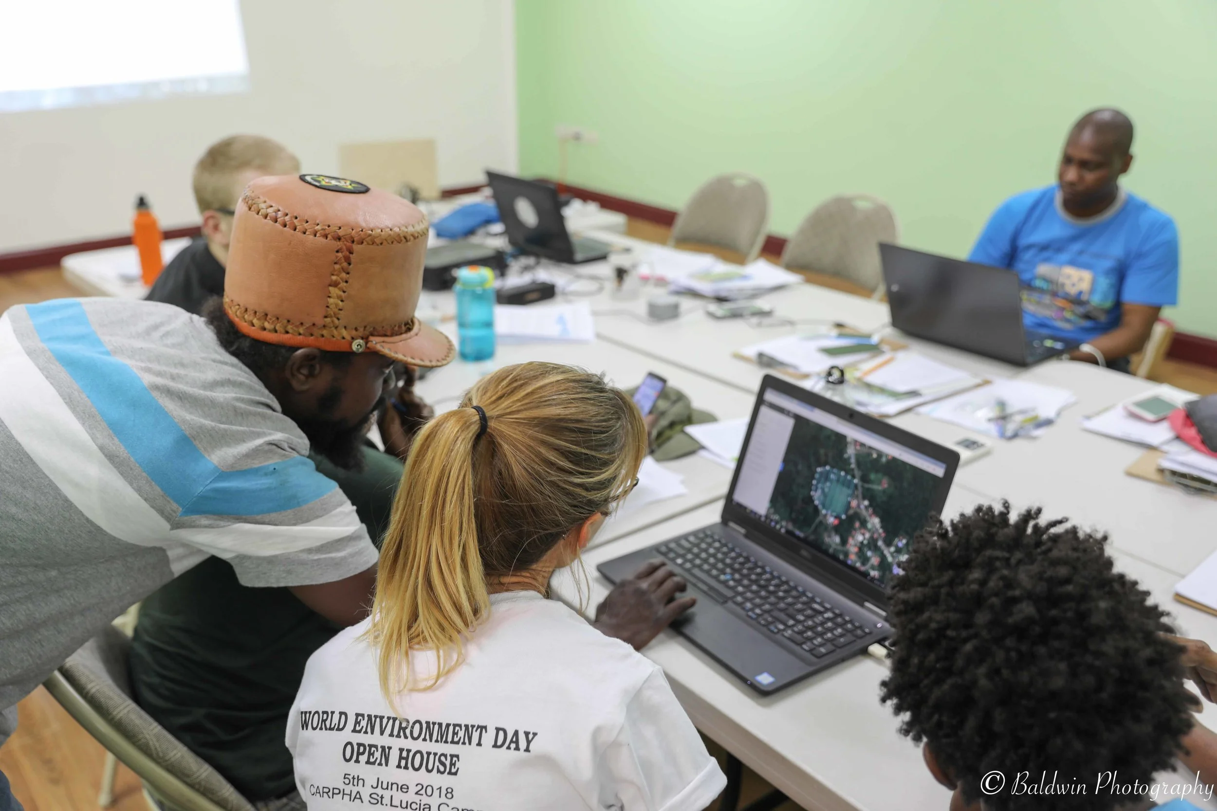
Geoinformatics for Environmental Management
This course introduces Geoinformatics - and how working with spatially-referenced data can provide a better understanding of interactions occurring within the environment. You will learn the five core elements of GIS and how they should be applied to support an ecosystem-based approach. Both theoretical lectures and practical activities (using either ArcGIS and/or Google Earth) will provide you with a solid understanding of how to plan and apply GIS to support your environmental applications. This course is offering can be tailored for any level - from beginner to an advanced deep-dive - based on your needs and resources!
Data Management, Collection and Creation
This practical course will teach you how to design for the collection, conversion, and creation of spatial data!
Data is the most important and time consuming part of a` project I will teach you all you the main steps required to conduct a through data needs assessment and inventory. This process will enable you to identify all sources of existing information and begin to populate a geodatabase in which you can store and manage your spatial data. You will also acquire the skills to fill identified data gaps by converting or creating new spatial information.
Guidance for your project is provided each step of the way - from conducting a preliminary needs assessment, followed by planning for data collection and developing mapping methods and data conversion techniques. It doesn’t end there - the importance of managing your data appropriately is an essential, yet often forgotten element to ensure high quality information - so how to efficiently manage and effectively implement data QA/QC procedures will also be covered and practically applied.
Introduction to Spatial Analysis
Learn approaches to problem-solving by exploring spatial patterns, trends and relationships within your GIS data!
This course will explore the importance of spatial analysis and the creation of information using web-mapping analysis platforms and easy to use analytic dashboards and automated reporting tools. You will learn the most commonly applied spatial analysis tools and will gain practical experience performing analysis using (ArcGIS Online, ArcGIS Earth, Google Earth and/or Drone Deploy) web-based mapping analytic tools. If your organization has specific learning needs, feel free to ask me about how we can design a course that meet your specific needs and goals!
Communicating & Sharing Information
Learn all about how to share your information effectively!
This course will provide you with an overview of the best free and easy to use communication and information exchange tools available today! Learn how to quickly produce and effectively share your data and information to a range of audiences using both web-based mapping tools and social media platforms.
Introduction to Marine Spatial Planning
This course will explain how to apply a holistic, ecosystem-based approach to Marine Spatial Planning (MSP), focusing on applications within Small Island Developing State (SIDS) contexts. Key principles of an effective MSP process will be covered so that you can develop a comprehensive and socially acceptable plan with input from all relevant sources. You will learn how to undertake stakeholder analysis and plan for engagement, developing a shared vision, identifying space-uses and data needs assessment, methods for data collection, conversion and analysis, as well as an overview of participatory approach and tools to support collaborative decision-making.
Marine Spatial Information Solutions, Inc.
St. James | Barbados | 246.241.8940
San Diego | California | 858.472.7254